
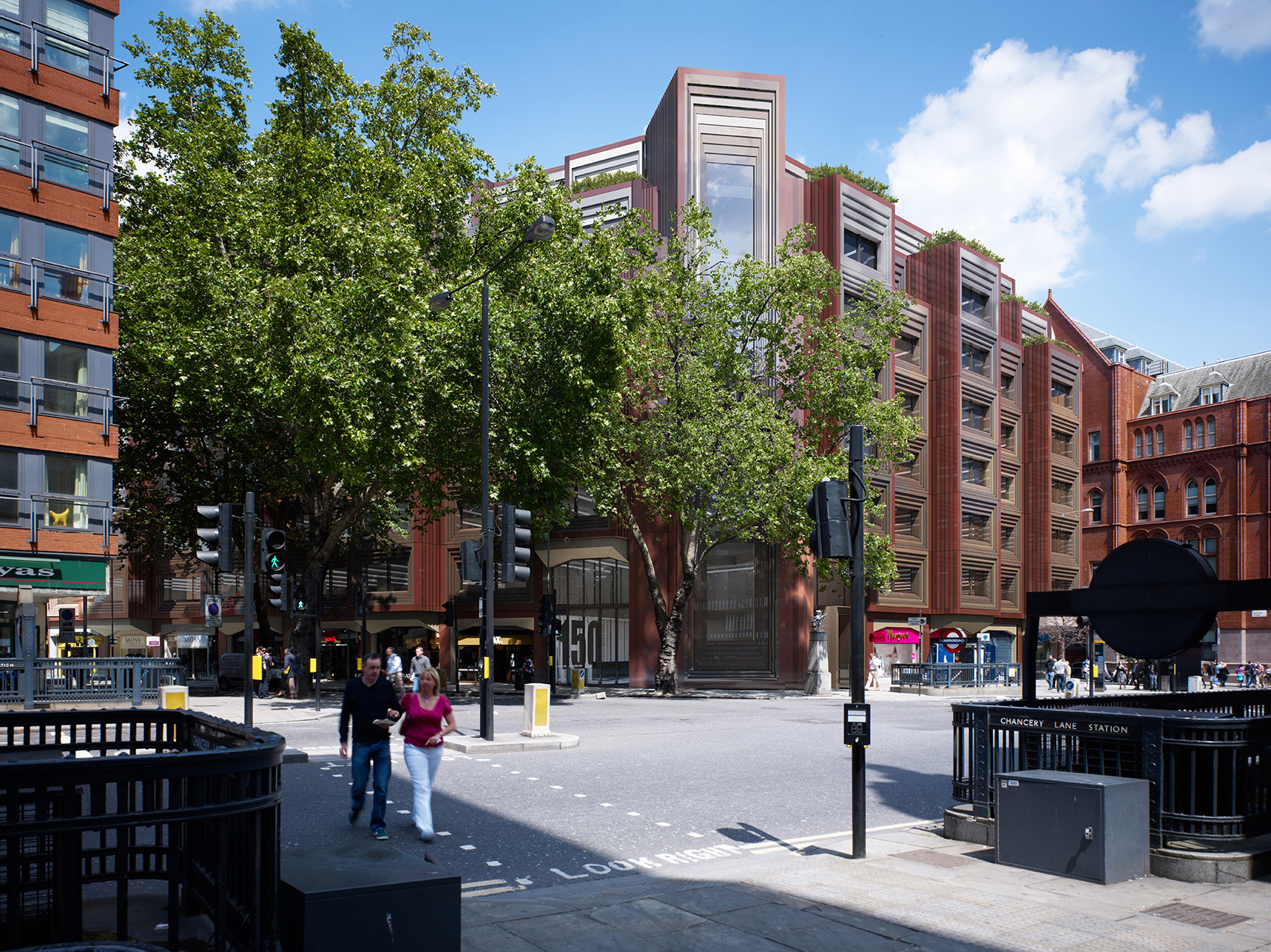
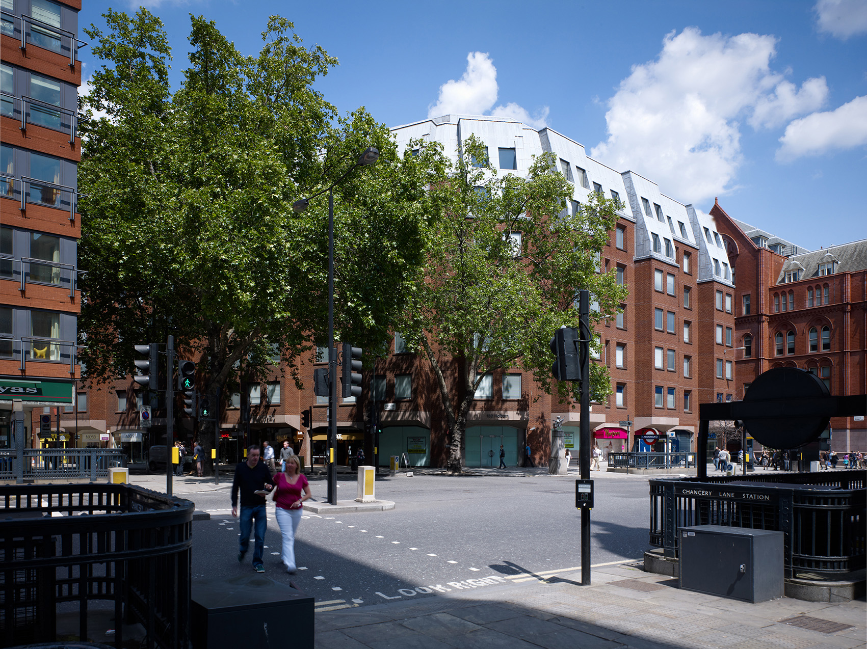
150 Holborn
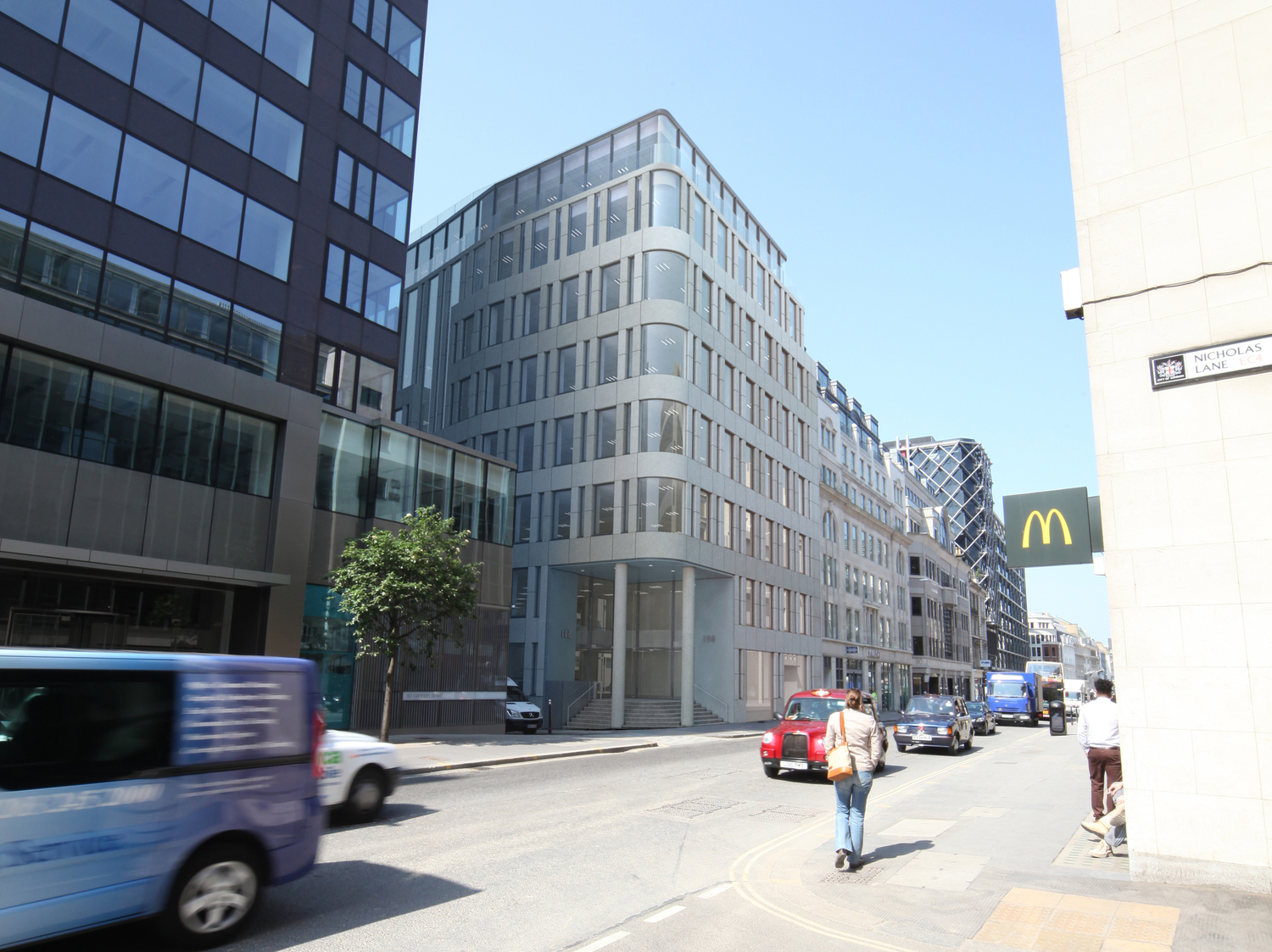
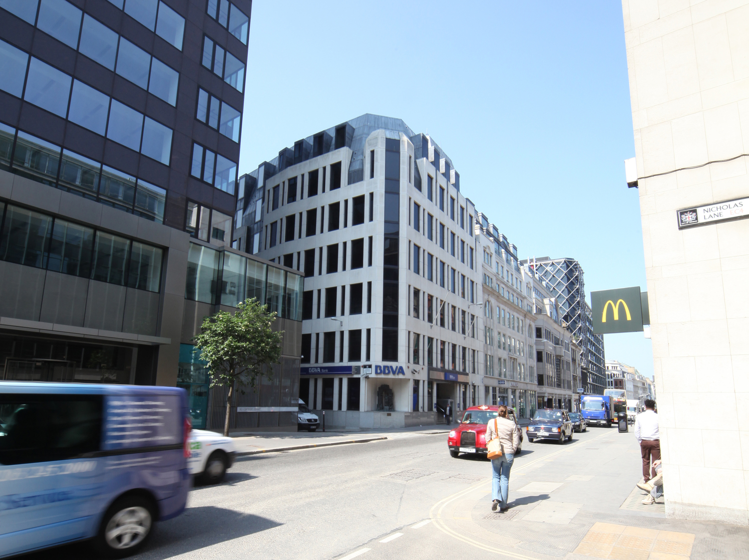
108 Cannon Street
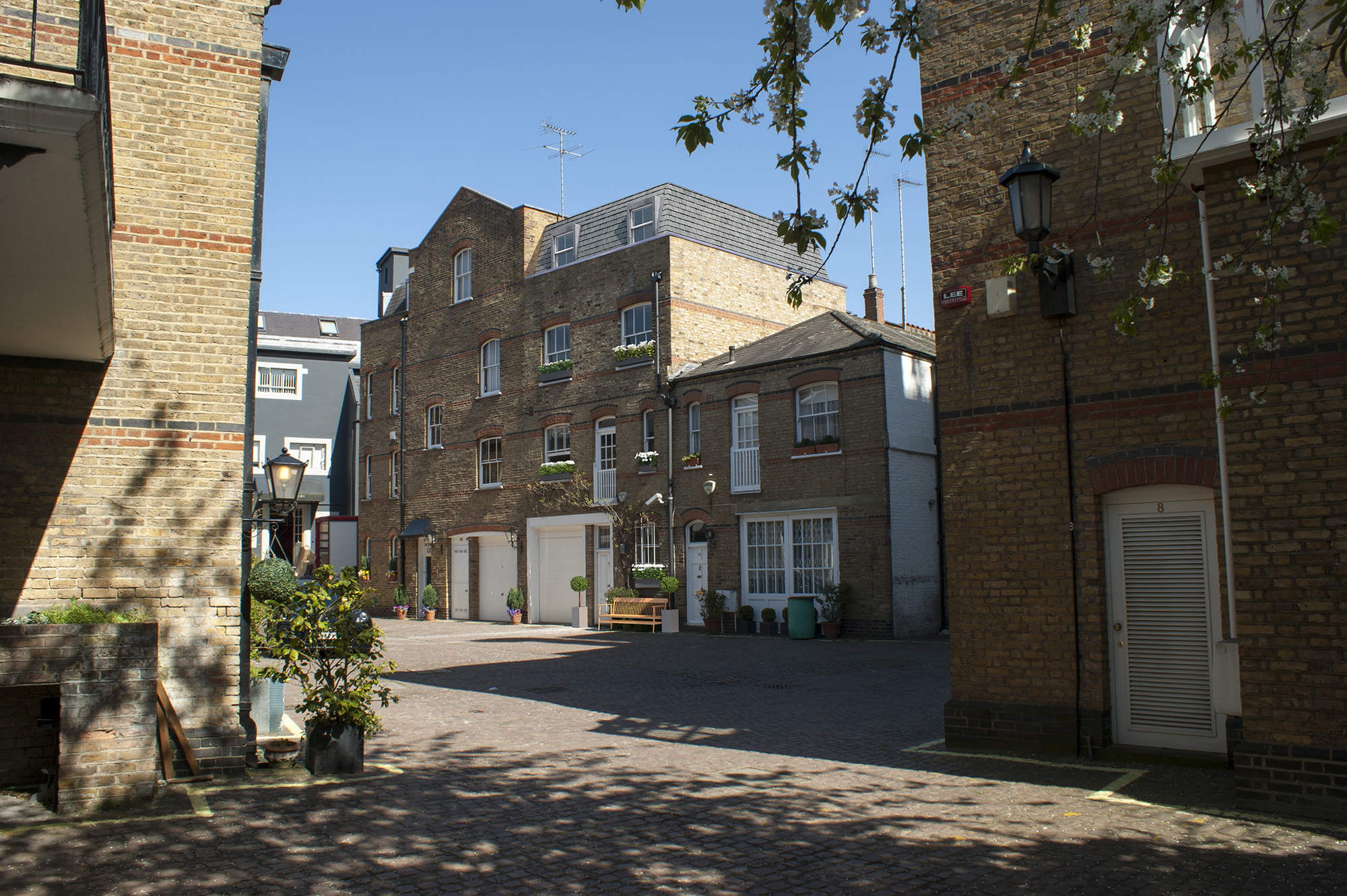
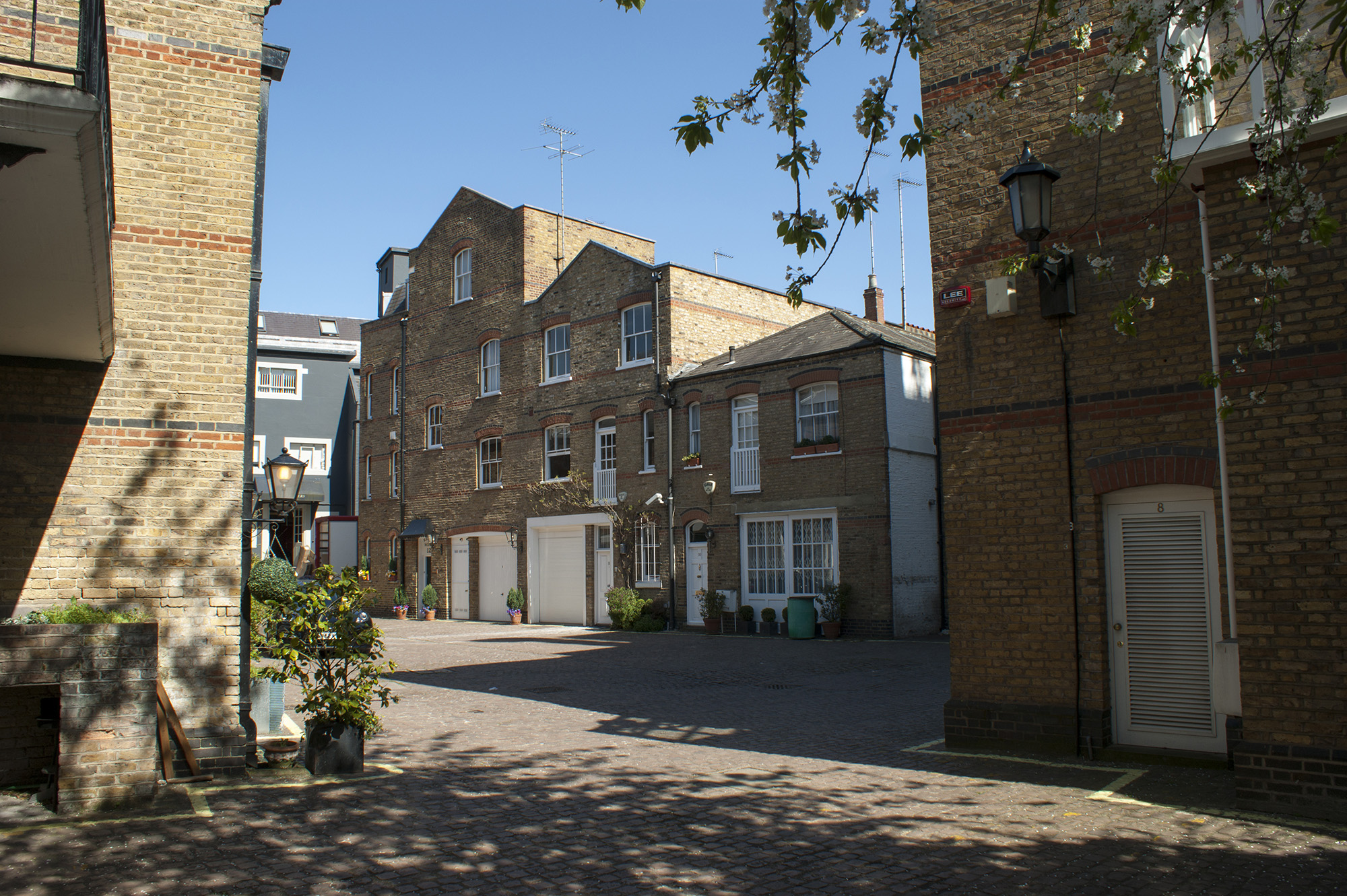
Relton Mews
Verified Views or Accurate Visual Representation (AVR's) are highly accurate architectural photo-montages which are achieved by combining a 3d model with verified photography and using precise camera positions, survey data, exact coordinates and a strict recorded methodology. Verified views are invaluable for Environmental Impact Assessments (EIA's) and planning applications to understand the potential effect of a scheme on the surrounding area.
The process starts with high resolution photography, recording a set of detailed parameters. Our survey details a range of reference points to include the camera and GPS location, angle and lens focus and sensor information. Then using existing 3d data models or architectural drawings we generate a 3d model. Using the survey data our software allows us to montage the high resolution photography and rendered 3d model to produce the end visualisation of the scheme. A methodology report with all relevant viewpoints, survey data and exact information is produced along with images indicating the before and after images.